Mapping Potential for Off-Grid Solar Systems with Geospatial Data and Machine Learning
- Cloudmin
- May 6, 2021
- 1 min read
Updated: Jun 7, 2023
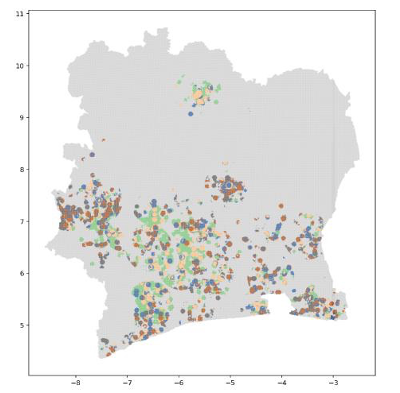
Western Africa

Context and Issues
A solar electricity provider asked Masae to identify promising sales areas in two West-African countries. It also wanted Masae to help their sales teams efficiently leverage this information on the field.
Solution
Masae collected data from various sources (socio-demographic surveys, geospatial infrastructure data, satellite imagery, etc.) and built over 30 indicators (mobile coverage, distance to electricity grid, solar potential, etc.) at the squared km level. Using this data and the client’s customer database, Masae built machine learning algorithms to predict sales potential over the entire country.
Spatial indicators and predicted potential were made available to the client through a user-friendly geospatial web-based tool with key statistics, interactive maps, advanced search tools and Excel export functionalities. A demo version of the tool is available here.
The tool helped guiding sales teams in their market research field operations.